Water board to geo-tag water supply lines within ORR, sewerage lines in Hyderabad fringes
The Hindu
As per government directions, around 3,300 km of lines have been laid for supply of water to villages and colonies within the ORR limits
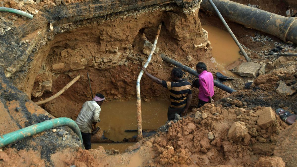
Agencies carrying out infrastructural development works in the city may hope to be saved from the embarrassment of hitting an occasional water supply or sewerage line out of the blue while carrying out excavation works, thanks to the project taken up by the Hyderabad Metropolitan Water Supply & Sewerage Board (HMWS&SB) for geo-tagging all its supply and sewerage lines.
After completing the project for the water supply lines, sewerage network and manholes in the core city, the board is now extending the same to water supply lines within the Outer Ring Road, and sewerage lines and manholes in the peripheral areas of GHMC.
The board had taken a decision about six years ago to geo-tag its assets in the city, for their effective management. Since then, a total 4,700 km of water supply lines and 26,511 control valves in the core city, and 6,350 km of water supply lines and 28,358 control valves in the peripheral areas have been geo-tagged, apart from 3,655 km of sewerage network and 2,15,919 manholes in the core city. Also geo-tagged were 1,371 km of transmission lines and 3,777 valves of water supply network.
Tenders have been called anew for geo-tagging of more than 6,000 km of sewerage lines and 1.75 lakh manholes in the peripheral areas, the sewerage management of which has been handed over to the board from GHMC.
In addition, the board will also take digital stock of its water supply lines within the ORR limits by identifying their precise location, officials informed. Around 3,300 km of lines have been laid for supply of water to villages and colonies within the ORR limits as per government directions.
“We are not calling for fresh tenders for ORR works, but instead, will use the savings from the earlier projects in the core city and peripheral areas. The same agency will carry out the work within ORR,” said a senior official of HMWS&SB.
Through geo-tagging the assets, the board aims to improve its field level functionality, by identifying the precise location whenever a problem arises.

Parents of deceased Badlapur sexual assault accused withdraw case against Thane police in alleged encounter, citing difficulties in pursuing justice.

Deocha Pachami Coal Mining project in West Bengal begins with basalt mining, promising jobs and fair compensation for locals.

Akhilesh Yadav accuses BJP of rigging Milkipur byelection, declares Election Commission "dead" for failing to prevent malpractice.

AAP alleges BJP offered ₹15 crore to 7 candidates to defect after Delhi election; BJP denies, calls it baseless.

Protestors clash with police in Kolkata over SSC recruitment scam, demanding segregation of worthy and unworthy candidates.

Tragic accident involving ITI students at BHEL in Ranipet, Vellore; two run over by lorry, one injured, driver arrested.

R.S. Venkatraman, the voice of Independence for Tamil listeners, passes away at 102 in Chennai.

Nobel Laureate Aaron Ciechanover emphasizes the importance of democracy in science for progress and innovation.

Former Minister and three others convicted in bank fraud case, sentenced to 3 years; released on interim bail.

DMK President M.K. Stalin vows to retain power in 2026, emphasizing party's history of working for people's welfare.

India's EV charging market poised for growth with significant investment, but urgent expansion needed to meet ambitious targets by 2030.

Delhi court summons ED director over failure to provide documents in ₹88-crore SEBI fraud case, accused unable to defend.

Saamana editorial criticizes PM Modi's response to Trump's outsourcing remarks, warns of economic impact on Indian citizens abroad.