Chennai police launch roadEase app to give real time updates on traffic diversion, road closure
The Hindu
The Greater Chennai Traffic Police has tied up with Lepton to provide real time traffic info quickly and also update Google Maps
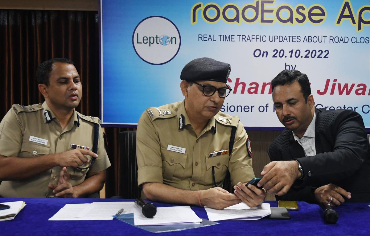
The Greater Chennai Traffic Police (GCTP) on Thursday launched roadEase, an android app, to give real time traffic updates, closure of roads and diversion of vehicles, along with the estimated journey time and available route options.
The police were putting in efforts through deployment of traffic personnel, recovery vehicles, patrols and marshals and various traffic systems with the use of technology wherever possible, said Additional Commissioner of Police (Traffic) Kapil Kumar C. Saratkar.
Launching the app, Commissioner of Greater Chennai Police Shankar Jiwal said: “Many times, we have to close a particular road one way or both ways for improving traffic flow, facilitate civil works like those of Chennai Metro Rail and storm-water drain or to deal with a temporary situation like an agitation.”
“Whenever road closure and diversions are made, a pressnote is issued and it is announced on social media. But these are not updated on Google Maps immediately and the road users are not aware of the information,” he said. Some times, in view of a sudden development like agitation, a vehicle breakdown or major accident, a road is closed and there is no time to give a pressnote and announce it on social media, road users might not notice it, he said.
To overcome these problems, the GCTP in association with Lepton has come up with an arrangement in which the police will inform Lepton through an app called roadEase about the closure of the road and its duration. Lepton will relay the information on Google Maps within 15 minutes and the closed road will be shown with the dotted red line. Simultaneously, the map will show the best available alternative route.

Parents of deceased Badlapur sexual assault accused withdraw case against Thane police in alleged encounter, citing difficulties in pursuing justice.

Deocha Pachami Coal Mining project in West Bengal begins with basalt mining, promising jobs and fair compensation for locals.

Akhilesh Yadav accuses BJP of rigging Milkipur byelection, declares Election Commission "dead" for failing to prevent malpractice.

AAP alleges BJP offered ₹15 crore to 7 candidates to defect after Delhi election; BJP denies, calls it baseless.

Protestors clash with police in Kolkata over SSC recruitment scam, demanding segregation of worthy and unworthy candidates.

Tragic accident involving ITI students at BHEL in Ranipet, Vellore; two run over by lorry, one injured, driver arrested.

R.S. Venkatraman, the voice of Independence for Tamil listeners, passes away at 102 in Chennai.

Nobel Laureate Aaron Ciechanover emphasizes the importance of democracy in science for progress and innovation.

Former Minister and three others convicted in bank fraud case, sentenced to 3 years; released on interim bail.

DMK President M.K. Stalin vows to retain power in 2026, emphasizing party's history of working for people's welfare.

India's EV charging market poised for growth with significant investment, but urgent expansion needed to meet ambitious targets by 2030.

Delhi court summons ED director over failure to provide documents in ₹88-crore SEBI fraud case, accused unable to defend.

Saamana editorial criticizes PM Modi's response to Trump's outsourcing remarks, warns of economic impact on Indian citizens abroad.