Dating Poompuhar, resolving a controversy
The Hindu
Over the past few years, if there was one claim that attracted unanimous denunciation from archaeolo
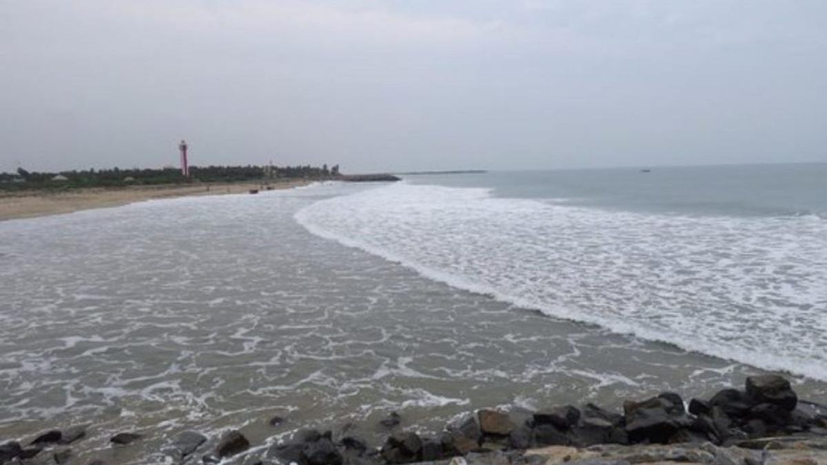
Over the past few years, if there was one claim that attracted unanimous denunciation from archaeologists as “unscientific”, it was the claim of a geologist that the ancient port city of Poompuhar flourished 15,000 years ago, off the present day Kaveripoompattinam village in Mayiladuthurai district, Tamil Nadu.
He had claimed that the Poompuhar harbour was 11 km long, 2.5 km wide and had 70-80 docks for berthing ships. The harbour was found 30 km-40 km from the present day shore. There were human settlements around, and a lighthouse with a spiral staircase, too.
Archaeologists across the spectrum lost no time in knocking the bottom out of this claim on the grounds that it was illogical. 15,000 years ago, it was the Microlithic Age in the Indian sub-continent when human-beings were hunter-gatherers. They had not even learnt to domesticate cattle then. The claim had “no scientific basis” because no underwater exploration was done, archaeologists said. No archaeologist was involved in the exercise. It relied only on remote-sensing images, which could not reveal whether they were natural formations under the sea or man-made structures. No date could be assigned to an archaeological site with only remote-sensing images, experts argued.
The claim was made by geologist SM. Ramasamy, National Coordinator, Project Poompuhar, Department of Remote-sensing, Bharathidasan University, Tiruchi, at a press conference on January 20, 2023. He said one of the major findings of a research study, headed by him, was that the port city of Poompuhar was not 2,500 years old as it is widely believed, but “appears to be more than 15,000 years old. It thus appears to be one of the oldest port cities in the world.”
This came to light when the study to “digitally reconstruct the comprehensive life-history of Poompuhar” was undertaken over an area of about 1,000 square kilometres in the offshore area of the Bay of Bengal, off Kaveripoompattinam, Dr. Ramasamy said. The study was done with Indian Remote-sensing Satellite images and the General Bathymetry Chart of the Oceans (GEBCO). The National Institute of Ocean Technology (NIOT), Chennai, chipped in with Multi-beam Echo Sounder (MBES) data. The survey was done for about 30 km to 40 km from the shore at a depth of 50 metres to 100 metres in the sea.
A statement issued by Dr. Ramasamy said the port city of Poompuhar was “discovered” undersea. It covered 250 sq. km. It was “inferred” that the harbour was 11 km long in the north-south direction and was 2.5 km broad. There were long canals running north-south. There were east-west cross-canals. The former was for the movement of big vessels and the latter for turning them. There were 70 to 80 docks over 30 km for berthing the ships, the statement said.
North of the harbour, there was a (human) settlement with a cluster of houses over four sq. km. Besides, a row of settlements with compound walls was “inferred”. The settlements within the compound walls were intact because of the protection offered by the walls. But in another settlement, found 10 km south-east of the harbour, the compound walls were intact but the houses inside “were totally buried under the sand”, the statement said.

Ranya Rao, caught smuggling gold at Kempegowda International Airport, claimed innocence, but agencies suspect syndicate involvement.

World Sleep Day: More than 26% of professionals said they are getting less than six hours of sleep in the night, a problem even more pronounced among entrepreneurs.

Samuel Browne's botanical explorations in 17th-century Madras offer insights into traditional plant uses and changing flora over time.

CPS Abolition Movement protests in Dindigul urging State government to implement old pension scheme promised by DMK.

Union Finance Minister criticizes removal of Indian currency symbol '₹' in Tamil Nadu Budget 2025-26 documents, citing national unity concerns.

State government provides ₹100 crore to KMRL for Kakkanad extension, speeding up construction and addressing funding issues.

ED joins probe into gold smuggling case involving Kannada actor Ranya Rao, raids multiple locations in Bengaluru.

Bombay High Court questions Maharashtra government on failure to register FIR against police officers in custodial death case.

Uttar Pradesh Minister Sanjay Nishad faces backlash for suggesting those who have issues with Holi colours should leave the country.

Tamil Nadu sees improved Olive Ridley turtle nesting season with over 2.5 lakh eggs collected, efforts to protect marine life.

Speeding bus crash on Paramakudi-Madurai highway kills woman, injures 23; driver flees scene, causing critical injuries.

Transport Minister flags off private and KSRTC buses from Goshree islands to Kochi city, improving public transportation.

TSPSC clarifies Group-I Mains exam evaluation process, releases key statistics, and addresses misinformation, ensuring fairness and transparency.