Corporation council passes draft master plan 2040 for Thiruvavananthapuram city
The Hindu
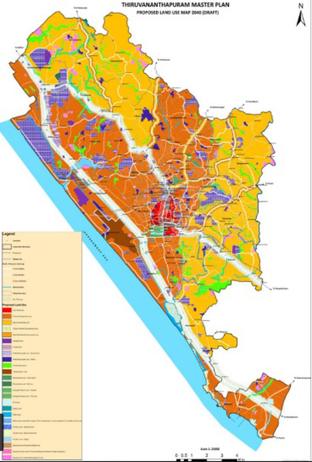
In the new draft master plan, the city has been broadly divided into two zones, which are further subdivided into 25 zones, based on existing and proposed land use patterns
Eight years after the withdrawal of the previous draft master plan for Thiruvananthapuram, the city Corporation council on Monday passed the draft master plan 2040, laying out the development plans and land use patterns for the next two decades. The draft, which was passed after several rounds of consultations and surveys, was passed unanimously, even though the opposition councillors raised several concerns regarding the proposals.
Mayor Arya Rajendran said that the various issues raised by the councillors will be considered before finalising the draft master plan. In case buildings have already been constructed in special zones after the survey was carried out, these will be separately considered. The public will have the opportunity to put forward their suggestions and complaints regarding the draft plan for the next sixty days.
One of the contentious issues with the previous draft master plan was the zoning regulations. It had to be withdrawn in February 2014 following widespread public protests in the outer areas of the city, especially in Kattayikonam and Attipra, after people found their requests for building permits getting rejected as some of these areas were marked as strategic zones in the master plan. After its withdrawal, land use has been mainly governed by the interim development order, based on which building permit applications were either granted or rejected.
In the new draft master plan, the city has been broadly divided into two zones, which are further subdivided into 25 zones, based on existing and proposed land use patterns. Under the broad categorisation, while catering to future development, areas with ecological limitations are earmarked as zones of sparse to moderate development. Areas in the city suburbs come under this zone. Most of the central city and extended areas along the prospective Transit Oriented Development (TOD) corridors towards the north and southern and eastern side come under the moderate to intense development zone. The upcoming Vizhinjam International Seaport area also comes under this zone.
The draft plan envisages promotion of development in all non-prohibited areas, Kerala Municipal Building Rules (KMBR), however taking into consideration specific regional regulations. Built zones include priority development zone, mixed residential zone, industrial zone, IT park zone, transportation zone and the tourism zones. Kowdiar and Fort area come under the heritage precinct zone. Three zones for special use are earmarked for the setting up of a mobility hub, for the expansion of the Government Medical College and for a special development zone. As per the maps provided now, it is hard to pinpoint some of these special zones, an issue which was also raised by the opposition councillors.
The draft plan proposes the declaration of a 5 m area around the Fort and the fort walls as construction restricted zones. It also called for the restriction of development that “disturbs the dominance” of the Sree Padmanabhaswamy temple. It identifies several possible spots for new playgrounds and parks. The proposals call for the conservation of existing and remaining paddy lands, to limit construction activity from the revenue boundary of water bodies and for the maintaining of recreational or green buffer zones with no building activity, along water bodies. Another proposal is for the increasing of green cover of the city by at least 15% annually as well as for the preparation and periodical monitoring of the air quality map of the city.
Learning a lesson from the backlash received for the previous master plan, the city Corporation and the Town Planning Department have been cautious this time around, ensuring that the public is taken along at every phase of the preparation. The whole process began with a people’s aspiration survey. Socio-economic survey was conducted at 25,000 selected houses. The civic body also had a long wait of one-and-a-half years for the satellite images of the city from the National Remote Sensing Centre.


