MoreBack to News Headlines

Why airline route maps look the way they do
CNN
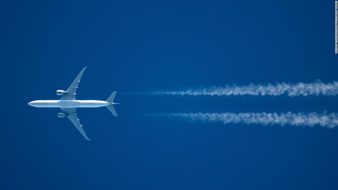
Airline route planning is a lot more than just flying a plane from A to B. Weather, geopolitics, how much a country charges for aircraft to fly over its territory, and even runway length all dictate the way we travel through the sky
(CNN) — If you've ever played with the in-flight route maps on board a plane or browsed the destinations on an airline's website, it all looks pretty simple.
To get from A to B, you simply rise to 30,000 feet and take the most direct path through clear, empty air, right?
The reality, of course, is a little more complicated.
More Related News

 Run 3 Space | Play Space Running Game
 Traffic Jam 3D | Online Racing Game
 Duck Hunt | Play Old Classic Game


