Uvakai Research Foundation to release analysis on Buckingham Canal and Pallikaranai catchment area in April
The Hindu
Uvakai Research Foundation to release detailed analysis of Pallikaranai catchment area and Buckingham Canal for flood management and restoration.
Uvakai Research Foundation, a thinktank focused on river basin management, plans to release a detailed analysis of the Pallikaranai catchment area in the Kovalam basin and the role of the Buckingham Canal in flood management and recommendations for its restoration in April.
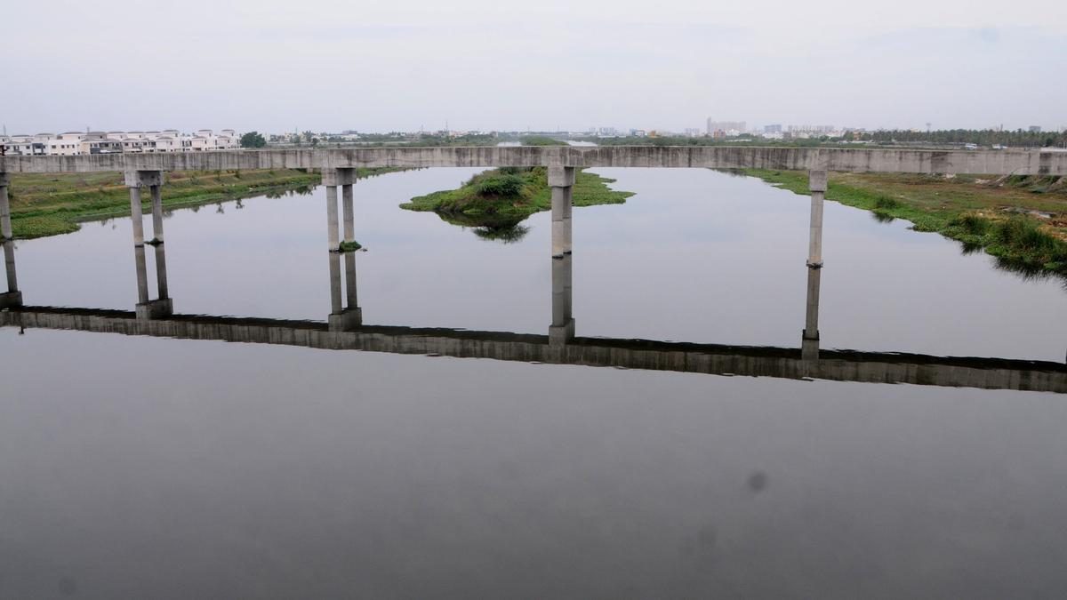
The organisation recently commenced its field study along the south Buckingham Canal to analyse its condition and recommend interventions, which can be implemented before the next monsoon to mitigate inundation. A transect walk was recently held along the south Buckingham Canal and three of the catchment areas to observe and explore solutions to reduce floods in the Kovalam basin, which depends on the canal to drain floodwater.
E. Vidhubala, director of the foundation, said the Pallikaranai marshland’s catchment area has nearly 63 waterbodies, which are over 10 ha in size. This catchment area plays a crucial role in flood management. Okkiam Maduvu has undergone improvement efforts, including desilting. However, the stretch of Buckingham canal from the Injambakkam bridge on Kalaignar Karunanidhi Salai needs improvement, including efforts to dredge the waterway, she added.
The team of volunteers said dumped solid waste and sewage outfalls were found along the canal near Sholinganallur. With the south Buckingham Canal being the major flood drainage point, it is crucial to improve it till the Muttukadu backwaters to ensure the smooth flow of floodwater, she said.
Haris Sulthan of Arappor Iyakkam, who participated in the transect walk, said Okkiam Maduvu was free of water hyacinth. But the portion of the Buckingham Canal had accumulated floating vegetation that hindered its flow. “We also saw piles of solid waste along the canal. The initial stretch of the canal is nearly 100 metres wide, but it narrows down to 80 metres near Navalur,” he said.
The team also said the canal branches into two arms around a landmass formed from accumulated silt and sand between the Injambakkam bridge and the Muttukadu backwaters, adding that widening the canal at this portion was essential to increase flood carrying capacity.
Ms. Vidhubala said the team was involved in a geographic information system analysis at the Pallikaranai catchment area and the Buckingham Canal. They will also analyse the existing condition of the waterbodies and their links to assess feasibility of several interventions for restoration.


 Run 3 Space | Play Space Running Game
 Traffic Jam 3D | Online Racing Game
 Duck Hunt | Play Old Classic Game


