


This map shows just how far Alberta wildfire smoke has reached
CTV
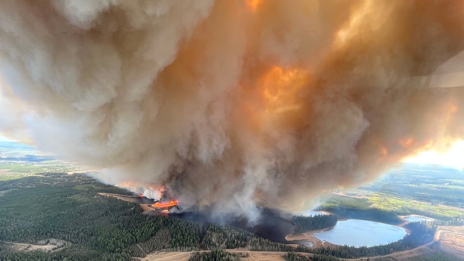
Smoke from raging wildfires in Alberta now stretches across the country, creating hazy skies in several provinces.
Smoke from raging wildfires in Alberta now stretches across the country, creating hazy skies in several provinces.
Nearly 30,000 people have been forced from their homes while about 90 wildfires burn in Alberta, 25 of them listed as out of control blazes as of Tuesday morning.
A real-time tracking map created by AirNow, which monitors wildfires and air quality in North America, shows the extent of the reach of smoke from the blazes.
The map shows how the smoke first travelled north then into Yukon and Northwest Territories before heading east into Nunavut.
From there, the smoke headed south over portions of Manitoba and southeast Ontario and Quebec. The maps shows the thicker flow of the smoke reaching in the New England states and as far south as Virginia. Click here to see the live-tracking map in a real-time.
On Monday, Environment and Climate Change Canada (ECCC) noted hazy skies in northern and eastern Ontario were a result of wildfire smoke, however, no air quality statements were issued in the province.
 Run 3 Space | Play Space Running Game
 Traffic Jam 3D | Online Racing Game
 Duck Hunt | Play Old Classic Game