Snow piling up across the region
CTV
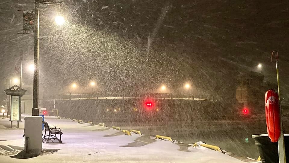
A strong area of low pressure tracked southeast of Lake Ontario Monday and brought very heavy snow across parts of southern Ontario.
A strong area of low pressure tracked southeast of Lake Ontario Monday and brought very heavy snow across parts of southern Ontario.
Snow started Sunday night and continued into Monday with snowfall rates in London-Middlesex and Elgin County measuring between two to five cm per hour, prompting a snowfall warning early in the day.
There were numerous school bus cancellations on the first day students were slated to return to in-person classes following the holiday break.
The blowing snow, low visibility and snow-covered roads made for a lengthy morning commute for those who braved the storm.
Snowfall amounts varied significantly as the low tracked south of the lower Great Lakes.
According to Environment Canada, snowfall amounts reported at Toronto International Airport and Ottawa International Airport fell within the top 10 highest snowfall totals reported in a single snowfall event for each of these sites.
Ottawa topped the list, receiving 41 cm of snow as of noon Monday.
 Run 3 Space | Play Space Running Game
 Traffic Jam 3D | Online Racing Game
 Duck Hunt | Play Old Classic Game