See map of where air quality is being affected by the Los Angeles wildfires
CBSN
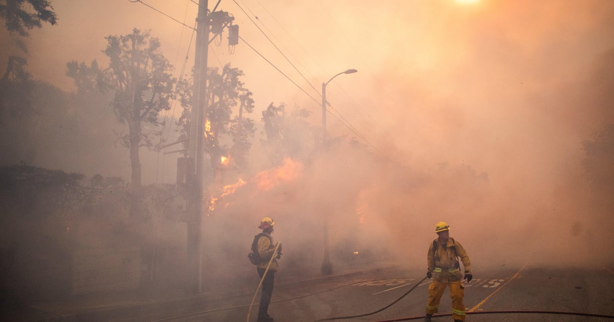
As fires burn across Los Angeles County, spurring thousands of evacuations, drifting smoke is affecting the L.A. area and beyond. Wildfire smoke can be harmful to health, especially for children, the elderly, those who are pregnant and people with respiratory or cardiovascular issues.
Hazardous air quality can affect people's health in multiple ways, ranging from headaches and eye irritation to trouble breathing and even heart failure. Here's how to tell if you're in an area at risk.

An Immigration and Customs Enforcement officer provided new details about the Trump administration's deportation flights of alleged gang members, but continued to argue the government had a right to reject a judge's order directing the planes to return to the U.S., even if they were already in the air.


