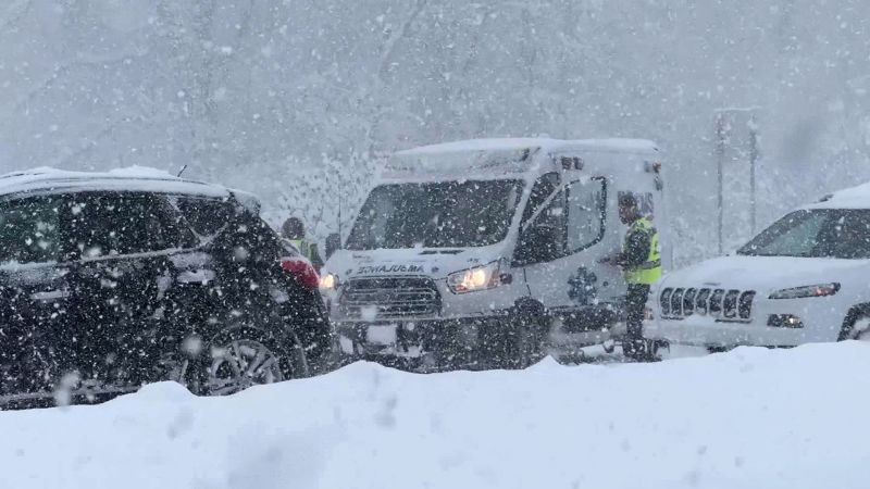
Parts of the Great Lakes region remain on alert as lake-effect snow continues to create near-whiteout conditions
CNN
Bone-chilling Arctic air gripped much of the eastern United States on Saturday, while lake-effect snow threatened to disrupt post-holiday travel in parts of the Great Lakes region.
Bone-chilling Arctic air gripped much of the eastern United States on Saturday, while lake-effect snow threatened to leave some areas “paralyzed” and disrupt post-holiday travel in parts of the Great Lakes region, forecasters said. A frigid air mass that swept south across the northern Plains and Midwest into the South and East Coast is expected to linger into next week, bringing the coldest temperatures since last winter, according to the National Weather Service’s Weather Prediction Center. A wide stretch of the eastern US is forecast to experience temperatures dropping 15 to 25 degrees, from Minnesota to Texas, as chilly air moving over the record-warm Great Lakes triggers the season’s first major lake-effect snow event. “There will be localized areas that will be paralyzed from the lake snow with some interstates also being greatly impacted,” the National Weather Service in New York said. Winter weather alerts were in effect for nearly 16 million people on Saturday, with widespread snow totals expected between 6 and 12 inches across portions of Michigan, western New York, northwest Pennsylvania and northeast Ohio. Some areas downwind of Lakes Erie and Ontario are expecting 4 to 6 feet. Residents across the Ohio River Valley from Kansas City to Charleston, West Virginia, will receive 2 to 5 inches through Sunday morning. The heavy snow has already prompted officials to close portions of several major highways in New York and Pennsylvania, including sections of Interstate 90.


