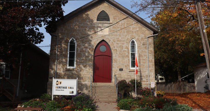
New driving map reveals more about Black history in Ontario’s Wellington County
Global News
The Guelph Black Heritage Society has created Wellington County: Black Heritage Reclaimed Driving Map highlighting 11 significant locations to the historical Black community.
People can learn more about the vast history of the Black community in Guelph, Wellington County, and Waterloo Region through a new driving map.
It is called Wellington County: Black Heritage Reclaimed Driving Map and it is put out by the Guelph Black Heritage Society.
The map highlights 11 significant locations to the historical Black community including the Queen’s Bush.
In the description, the settlement area between Waterloo Region, Wellington County and Lake Huron was where more than 1,500 free and formerly enslaved Black individuals lived starting in the 1820s.
“We provide a little history about the location and why it is significant,” said Denise Francis, president and treasurer of GBHS. “People can go out to look at the fields of corn and see what used to be there.”
Francis said not many people realize that there is a rich history of the Black community in Guelph and the surrounding region – it’s part of what made the area what it is today.
The release of the map coincided with Emancipation Day on Aug. 1.
People can purchase a copy of the map by going to the Guelph Black Heritage Society website.


