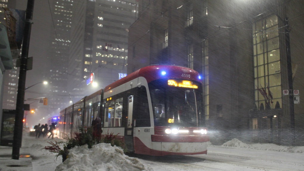
Messy winter storm barrels through Ontario towards Quebec; parts of B.C. experience record-breaking snowfall totals
CTV
Winter continues its grip on parts of Canada as a messy winter storm brought heavy snow, high winds and poor visibility to southern Ontario Monday evening and barrels into Quebec Tuesday. Extreme cold warnings are also in effect for Newfoundland and Labrador, while areas in B.C. are experiencing record-breaking snowfall totals.
Two separate storm systems across Canada are bringing brief periods of heavy snow, causing messy commutes for drivers and slicking up the sidewalks.
In B.C., the regions of Metro Vancouver, the Sunshine Coast and parts of Vancouver Island are under snowfall warnings from Environment Canada. The warnings, which have been in place since late Monday, say a further 2 to 10 centimetres of snow is expected.
The snow is caused by a low-pressure system moving inland off the Pacific Ocean. The temperatures are hovering around 0 degrees Celsius, which creates wet, heavy snow that is “good for snowballs,” according to CTV's Your Morning meteorologist Kelsey McEwen on Tuesday.
In the Greater Victoria region, about 5 to 10 centimetres of snow fell overnight Monday and continued into Tuesday morning, Environment Canada's website reads.
A number of B.C. roadways closed Monday allowing crews to clear the snow.
This is the second wintry blast the region has seen in the last week, with the first passing over the weekend causing cancellations and delays to flights and power outages to approximately 80,000 customers.
The storm system has broken snowfall records in some areas of the province for the month of February. Over the weekend, the Abbotsford area saw 19.3 centimetres of snowfall Sunday, shattering the previous Feb. 26 record of 6.6 centimetres set back in 1956, according to preliminary data from Environment Canada.
