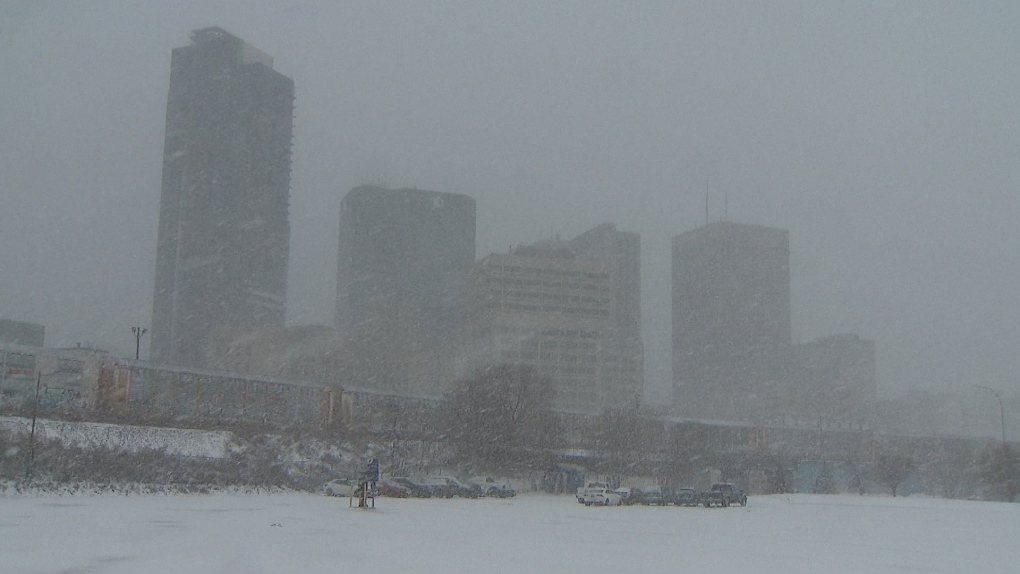
Manitoba storm remains unpredictable: Environment Canada
CTV
Environment Canada says the total amount of snow that has fallen in southern Manitoba is lower than previously forecasted, but notes the province isn’t out of the woods yet as a Colorado low makes its way north.
Environment Canada says the total amount of snow that has fallen in southern Manitoba is lower than previously forecasted, but notes the province isn’t out of the woods yet as a Colorado low makes its way north.
Natalie Hasell with Environment Canada said as of Wednesday morning, Winnipeg saw between 15 and 20 centimetres of snow before a break occurred. She said the snow is expected to start up again later in the afternoon.
“We'll see more accumulation later today. So, you know, 40 centimetres sounds very reasonable; 50 centimetres is still within the realm of possibility,” Hasell said. “So I wouldn't discount anything yet when it comes to the storm.”
Environment Canada initially predicted Winnipeg could receive between 30 and 50 cm of snow.
The Brandon area, which has been hit hard, remains under blizzard conditions. Environment Canada said the Westman region will be the hardest hit by the snow. Hasell said shortly after noon, the Brandon airport reported wind gusts of up to 80 kilometres per hour and visibility of up to 200 metres.
“We’re not expecting the break to get very far west,” she said.
She added, “The improvement that the rest of the province will see is timed for about the same for the southwestern corner. So, it's not much of a difference. Really, maybe in some ways it's worse because we were expecting larger amounts of precipitation in parts of the southwestern corner, and they're not going to see this gap. So they don't get a break.”
