It's not just rising sea levels – the land major cities are built on is actually sinking, NASA images show
CBSN
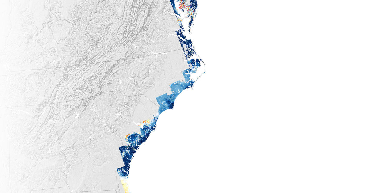
Rising sea levels are threatening the East Coast of the U.S., but that's not the only thing to worry about, according to NASA. Images shared by the space agency on Tuesday show the coast is actually sinking – including the land that holds major cities such as New York and Baltimore.
A NASA-funded team of scientists at Virginia Tech's Earth Observation and Innovation Lab found the geographical problem is "happening rapidly enough to threaten infrastructure, farmland, and wetlands that tens of millions of people along the coast rely upon," NASA said.
Scientists looked at satellite data and GPS sensors to monitor the motion of the coast and found that infrastructure in major cities like New York, Baltimore and Norfolk, Virginia, is built on land that sank between the years of 2007 and 2020. The land subsided, or sank, by an average of 1 to 2 millimeters a year, but some counties in Delaware, Maryland, South Carolina and Georgia saw their land sink twice or three times that fast.
