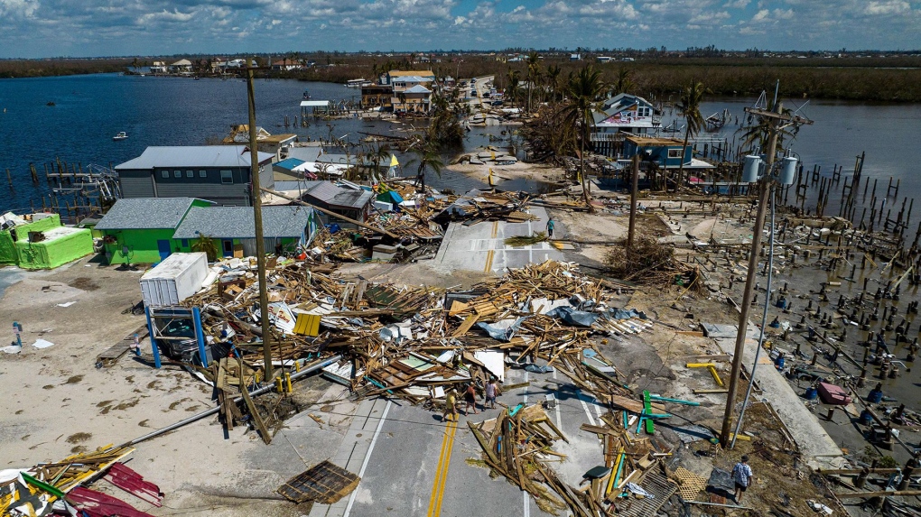
It's already hurricane season in the waters of the Atlantic. That could spell danger with La Nina coming
CTV
Ocean temperatures in the North Atlantic are historically warm for this early in the year, raising the risk of a hyperactive storm season that could also be supercharged by a budding La Nina.
Hurricane season is months away, but the waters where hurricanes roam haven't received the memo. Ocean temperatures in the North Atlantic are historically warm for this early in the year, raising the risk of a hyperactive storm season that could also be supercharged by a budding La Niña.
“This season should be full speed ahead, as there are no factors going against an active season,” Brian McNoldy, a senior research scientist at the University of Miami, told CNN. “We'll likely have an anomalously warm ocean and neutral or La Niña conditions for the peak of hurricane season – all the things you don't want if you want less Atlantic storms.”
Stronger ones, too. Warm water provides the necessary fuel not just to help storms form, but to also boost their strength.
Sea surface temperatures across the North Atlantic Ocean reached a level unheard of for February earlier this month: 1 degree Celsius above what's typical, and more akin to June than February. They were even higher in the part where most Atlantic hurricanes form, reaching July-like levels from West Africa to Central America.
It's a continuation of record-smashing global ocean heat that started last March and hasn't stopped since – driven by a super El Niño and global temperature rise from human-caused climate change, McNoldy said.
“(The heat) was so far above anything ever observed that it seemed impossible it would happen,” McNoldy said.
But it did. And ocean temperatures this year are off to an even warmer start than last year, including in the Atlantic, which could set the stage for a dangerous hurricane season.
