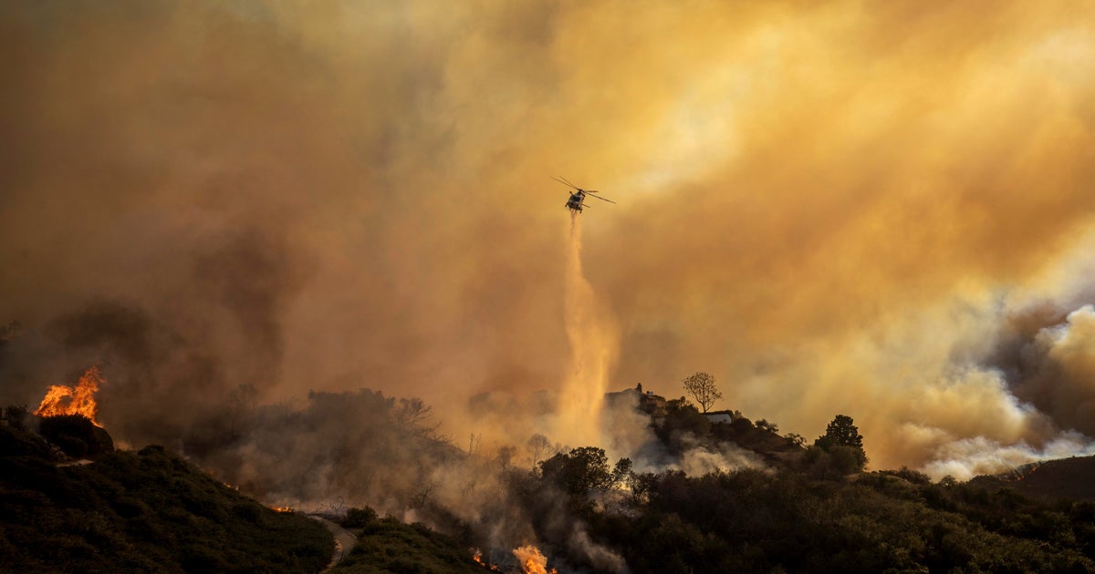
Images show Palisades Fire in Los Angeles, other California blazes
CBSN
Firefighters are continuing to battle a series of wildfires that broke out Tuesday in Los Angeles County. Fueled by a windstorm, the blazes have so far engulfed thousands of acres of land, according to the California Department of Forestry and Fire Protection, or CalFire.
Stunning images emerging from areas affected by the particularly destructive Palisades Fire and Eaton Fire show the early extent of the damage, primarily in the affluent Los Angeles neighborhood Pacific Palisades and northern valley community Altadena.
Time-lapse satellite video published overnight by the Cooperative Institute for Research in the Atmosphere, a project between Colorado State University researchers and the National Oceanic and Atmospheric Administration, painted a harrowing picture from above.

Washington — The Supreme Court on Thursday cleared the way for the Trump administration to deport a group of migrants with criminal records held at a U.S. naval base in Djibouti, clarifying the scope of its earlier order that lifted restrictions on removals to countries that are not deportees' places of origin.


 Run 3 Space | Play Space Running Game
 Traffic Jam 3D | Online Racing Game
 Duck Hunt | Play Old Classic Game


