How to fix walkability hurdles in Bengaluru? Premium
The Hindu
Should a 77% increase in pedestrian deaths in Bengaluru city from 2021 to 2023 be surprising at all, when our footpaths are so notoriously un-walkable, edging out everyone to stray onto the dangerous roads? The data is alarming, but does it stir policy makers and civic agencies to rethink, redesign and rebuild our footpaths to be safer, walk-friendly and seamlessly accessible?
Should a 77% increase in pedestrian deaths in Bengaluru city from 2021 to 2023 be surprising at all, when our footpaths are so notoriously un-walkable, edging out everyone to stray onto the dangerous roads? The data is alarming, but does it stir policy makers and civic agencies to rethink, redesign and rebuild our footpaths to be safer, walk-friendly and seamlessly accessible?
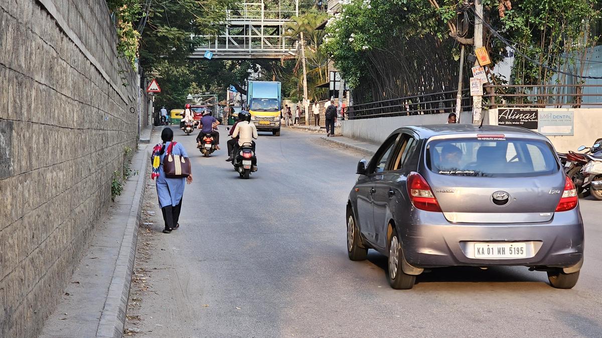
Forget for a moment the chaotic labyrinth of roads on the city’s outskirts, where walkable footpaths are a rarity. In the heart of the city, the so-called smart city roads originally designed with a pedestrian-first approach now see walkers as an afterthought. Wide, obstacle-free walkways that beckon pedestrians in droves are nowhere to be seen, the smartness of it all obliterated by the explosive vehicular onslaught.
Broken or missing pavement tiles, poorly lit walkways, encroachments at every turn, debris dumped in total disregard of walkers, vehicles parked everywhere… The seemingly endless list of obstacles makes every step risky. But is there a way to audit these obstacles with a network approach, identify fixes, estimate a cost, and recommend targeted solutions to the Bruhat Bengaluru Mahanagara Palike (BBMP)?
This is precisely what Sensing Local chose to do with its Walkability survey in 19 wards. The areas were chosen to be representative of both the inner and outer wards, commercial, residential and mixed wards. “The BBMP spends so much on footpaths every year. Our intention was this: Can we channel that money in the right direction,” explains Sobia Rafique, Co-founder, Sensing Local.
“So the whole idea was to look at a priority network for walking, and then accordingly audit that network to generate budgets which can be allocated under the BBMP year on year. That was the main goal,” she elaborates.
For instance, an extensive priority network has 30 km of road and 60 km of footpath. “Say, our analysis finds 15 km are most important. Then we go to the community, and with volunteers evaluate the entire stretch. If 5 km is in good condition, we audit the other 10kms for both footpaths and junctions.”
Data from the ground is critical for targeted budgeting and prioritisation. The audit looked at safety infrastructure and systems that were missing: Lighting, signalling, crossings, refuge islands on major roads and more. As Sobia recalls, “We also looked at perceptions of volunteers, whether they found it easy to cross the road or not. Based on the data sourced from both footpaths and junctions, we did the costing for BBMP to take it up.”


