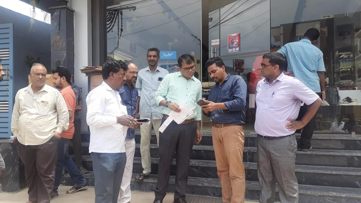
Field survey of properties begins in GHMC limits
The Hindu
Field survey for GIS mapping project in Greater Hyderabad Municipal Corporation begins, requiring property owners to provide necessary documents.
The field survey of properties and utilities in the purview of Greater Hyderabad Municipal Corporation, as part of the integrated GIS mapping project, began on Tuesday.
To begin with, the survey will be conducted in Uppal, Hayatnagar, Hydernagar, Kukatpally, KPHB Colony, Miyapur, and Chandanagar circles, which will be expanded to other areas in the city.
The high resolution drone mapping of the properties and utilities has already been completed, and through the ground survey, the data will be re-verified, a press release informed.
Availability of the data will help in locating the utilities such as roads, parks and properties, and aid collection of taxes, it said.
Property owners need to produce the building permission, occupancy certificate, latest property tax payment receipt, water bill, power bill, identity of the owner, and trade licence number in case of commercial buildings. The details will be kept confidential, the note said.

 Run 3 Space | Play Space Running Game
 Traffic Jam 3D | Online Racing Game
 Duck Hunt | Play Old Classic Game


