Data gaps beyond India are holding monsoon forecasts back | Analysis Premium
The Hindu
Monsoon season 2024 update: Patchy rainfall patterns, La Niña delay, and the importance of accurate forecasts for India's future.
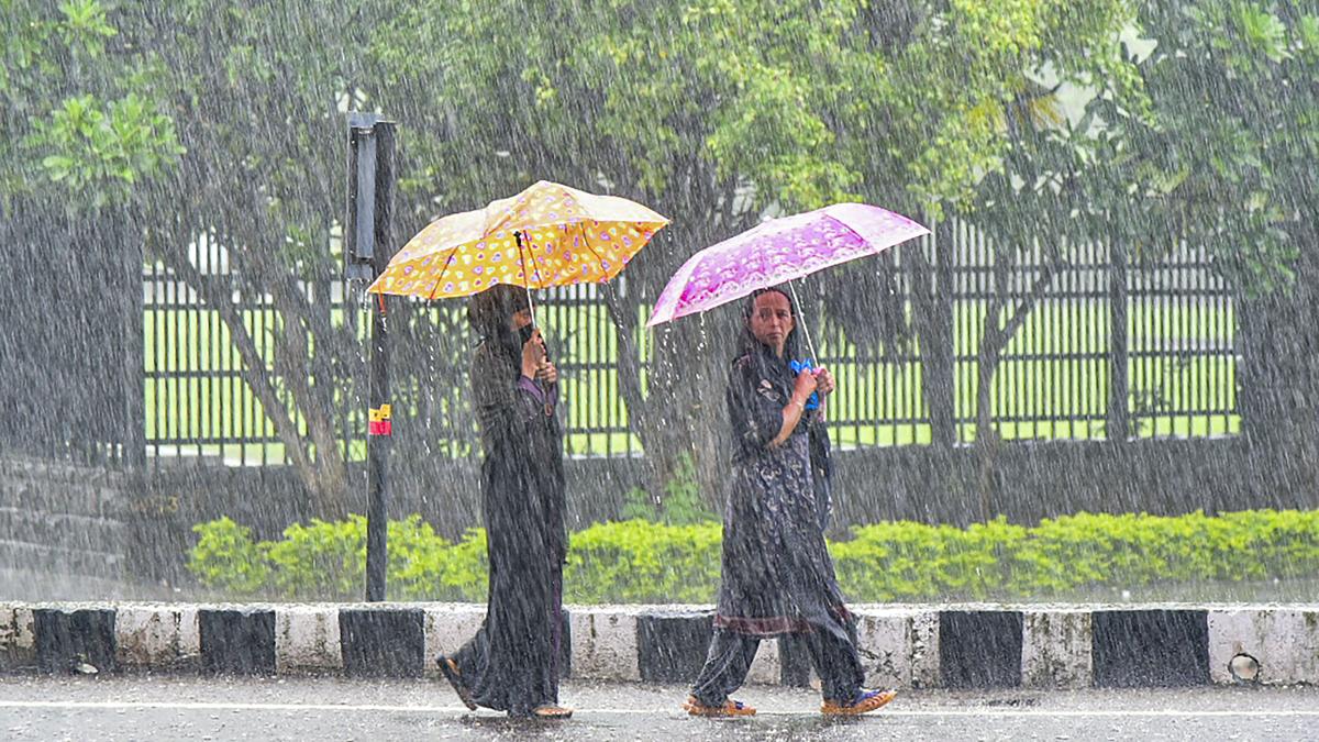
We are in the middle of the monsoon season of 2024. The monsoon onset happened on time on May 30 but its evolution thus far has sprung some surprises. The distribution of rainfall looks as patchy as ever, albeit with some unexpected patterns. The seasonal outlook by the India Meteorological Department (IMD) has predicted a normal to above-normal amount of rainfall based on the expectation that a La Niña appears to be likely. But this La Niña appears to be playing truant so far.
After the on-time onset, the northward movement of the monsoon trough seemed to be quite rapid. But then the trough stalled and produced a fairly dry June for large swaths of the country. Even the entire stretch of the Western Ghats received below-normal rainfall levels into July. An unusual pattern of excess rain stretching from south to north persists to this day, with dry patches over large parts of Uttar Pradesh, Bihar, Jharkhand, and Odisha, as well as northwestern India into Jammu & Kashmir.
I have used this analogy before and it still works well. As the Sun crosses into the Northern Hemisphere and starts warming the Indian subcontinent like a popcorn kettle, monsoon systems pop like kernels of corn in the kettle. The temperature inside the kettle will be essentially uniform but kernels will still pop randomly, here and there.
These kernels are like the rainfall: its patchy pattern is visible on day-to-day data as well as data averaged over the whole season and even over a whole decade.
However, the convenience of using the ‘all India monsoon rainfall’ index for providing seasonal outlooks — as the IMD does — is undermined by the uncertainty India’s farmers face at the local levels. Our forecasts of rain days or weeks ahead of a given date are getting better but they concomitantly increase the demand for and value of even more accurate and hyperlocal forecasts.
This demand is not only from farmers but also water managers and energy companies, among others. We need a broader perspective of the monsoon circulation to help understand where the limitations exist and how they can be resolved.
People know the summer monsoon as the “southwest monsoon” because the winds sweep in from the southwest over the Arabian Sea into mainland India, across the Western Ghats. The western edge of the winds graze the African highlands, and some experts have often argued that they are critical for steering the southwesterly winds. The active Bay of Bengal, which is full of convective events, can be expected to ‘pull’ the winds towards India as well.
 Run 3 Space | Play Space Running Game
 Traffic Jam 3D | Online Racing Game
 Duck Hunt | Play Old Classic Game
BRS urges Telangana High Court to address food poisoning in residential schools, highlighting negligence and lack of safety measures.

U.S. Secretary of State Marco Rubio aids peace talks between Thailand and Cambodia amid escalating border conflict.

England captain Ben Stokes battles injury issues but remains optimistic for the final test against India at the Oval.

Japodar (Amreli dist.) farmer protects children from leopards with iron cage, highlighting human-wildlife conflict in Gujarat.

The Hindu Morning Digest gives a select list of stories to start the day. Read the top news today on July 28, 2025

Over 15 lakh tonnes of waste processed at Kodungaiyur, with 1.4 lakh tonnes of RDF disposed, leading to greener Chennai.

Potholes plague Kochi roads, sparking demands for accountability from authorities, leading to traffic chaos and safety concerns.

Efforts underway for third Devadasi survey in Karnataka, urging government to conduct door-to-door survey without age limit.

Gurugram police detain suspected 'illegal immigrants' in crackdown, drawing criticism over alleged harassment and targeting of Bengali-speaking workers.

SICCI-UNHCR Partnership Forum launching pilot projects for Sri Lankan Tamil refugees, focusing on self-reliance and community development.

J&K Police seizes rifle, investigates killing of civilian amid public uproar, sparking magisterial inquiry and government scrutiny.

Discover the true essence of parkour as a lifestyle, not just extreme stunts, through the vibrant community in Chennai.

Greater Chennai Corporation launches a PPP project for advertising on street light poles and medians, expecting ₹94.6 crore revenue.