Colorado Low prompts winter storm watches in parts of Sask.
CTV
Environment Canada issued winter storm watches across portions of central and southern Saskatchewan Monday afternoon, upgraded from special weather statements.
Environment Canada issued winter storm watches across portions of central and southern Saskatchewan Monday afternoon, upgraded from special weather statements.
A Colorado Low is expected to hit southeastern Saskatchewan and southwestern Manitoba from Tuesday overnight through Thursday, with snow continuing until Friday in parts of Manitoba, according to Environment Canada.
Snowfall totals are expected to be between 10 and 25 centimeters.
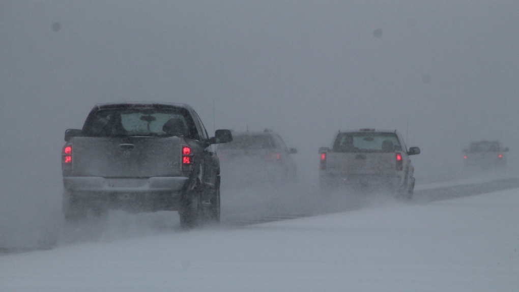
“In addition to heavy snow, strong north easterly winds will develop, with gusts of 60 to 80 km/h expected. These winds will cause blowing snow and reduced visibility, which may make travel hazardous. The strongest winds are expected to occur over the Manitoba parklands and extreme southeast Saskatchewan beginning on Wednesday morning before gradually diminishing overnight,” Environment Canada said on its website.
Precipitation is expected to fully transition from rain mixed with snow into solely snow overnight on Tuesday.
According to Environment Canada, the heaviest snowfall is expected to begin early Wednesday morning.
Total accumulations of all types of precipitation could exceed 30 millimetres, according to Environment Canada.
