As Hurricane Lee approaches Canada, here's how this season is shaping up
CTV
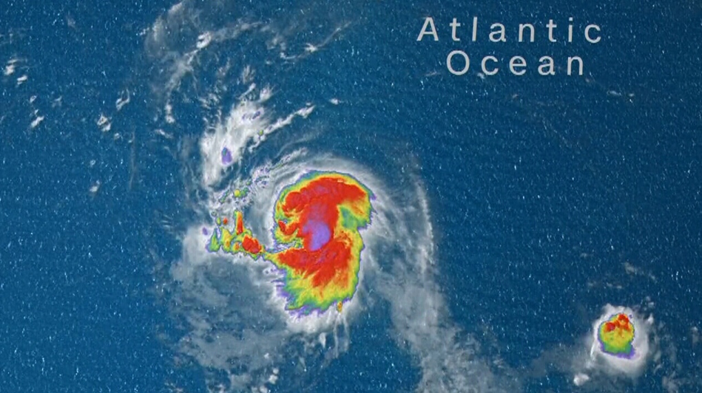
An above-normal hurricane season is expected for the Atlantic Ocean. Here's what that could mean for Canadians living in fear of a repeat of a like storm Fiona.
Hurricane Lee is predicted to reach Canadian waters early Saturday morning as a post-tropical storm, likely to bring wind and rain to southern Nova Scotia and New Brunswick.
Bob Robichaud, a warning preparedness meteorologist with the Canadian Hurricane Centre, says the number of storms and hurricanes is already above the 30-year average.
"As of today (Sept. 12) we're up to 14 named storms, five hurricanes and three major hurricanes," Robichaud said. "Which is not a record, but it's certainly up there."
The average over the last three decades to Sept. 12 is 8.5 named storms, 3.5 hurricanes and 1.6 major hurricanes.
"We're on pace for a busy season, which is what the updated predictions were in August," he said.
Last month, the U.S. National Oceanic and Atmospheric Administration (NOAA) updated its predictions, saying this year is likely to be an above-normal hurricane season in the Atlantic Ocean, with a 60 per cent chance of two to five major storms, which are category three or higher hurricanes.
Hurricane season falls between June and November in Canada, but Robichaud says September and October are the peak months for the country.