Explained | The anatomy of the Yamuna floodplains Premium
The Hindu
The Hindu explains the anatomy of the Yamuna floodplains, how structures and settlements emerged and why the floodplains are important to Yamuna and Delhi’s health.
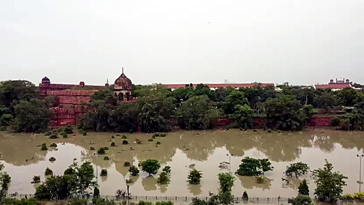
The story so far: Battered by heavy rains, the Yamuna looks slow, sluggish, swollen. Last week, the water levels hit a 60-year-high, gushing through elite neighbourhoods built close to the floodplains, including Civil Lines, Rajghat and the Supreme Court. Waters advanced towards the Taj Mahal for the first time in half a century.
More than 25,500 people were evacuated and ferried to rescue camps in a brown stream of waste; many of them lived in make-shift low-lying slum dwellings next to the river. The Yamuna on July 13 crossed the record set in 1978 of 207.49 metres, higher than the Statue of Unity.
The late environmentalist Anupam Mishra once called Yamuna, Delhi’s “real town planner”: it meandered through Delhi ensuring the city was never short of water and never ravaged by famine or flood. Delhi was “well-planned along the course of the river Yamuna, but it isn’t so anymore,” he said.
Causes, experts argue, can be traced to haphazard construction activities, urbanisation, lack of proper housing and lax regulations — all of which have besieged the floodplains.
“We talk about rivers in isolation, but floodplains are inseparable from the river channel,” says Venkatesh Dutta, a professor at the School of Earth and Environmental Sciences, Babasaheb Bhimrao Ambedkar University. The river system includes both water and land. Yamuna is a lifeline to five States, and its floodplains are a charging point.
Yamuna courses east of Delhi, entering the city from Palla village (38.5 km from the national capital) and exiting at the Okhla barrage. The floodplains are two km wide on each side. The floodplain along Yamuna’s 22 km run in Delhi, designated as the O zone by the Delhi Development Authority, has an area of approximately 9,700 hectares — the size of 1,500 new Parliament buildings.
Between Palla and Okhla, the composition of floodplains changes from farmlands to slums, colonies, flyovers and bridges. It is also dotted with permanent structures like Ring Road, Akshardham Temple complex, Commonwealth Games Village, Player’s Building (housing the Delhi Secretariat) and Indira Gandhi Indoor Stadium.


